Murang’a
Legend has it among the people who live around the mountain known as Kirinyaga (the mountain that looks like a male ostrich) that when God created the world, he decreed that Gikuyu and his wife Mumbi, must live in a place called Mukurwe wa Nyagathanga. It was in that place where Mumbi bore ten daughters for her husband – but only nine were recognized as it was considered bad manners to count all one’s children. The nine daughters birthed the clans from which the Agikuyu are descended. The daughters were Wanjiru, Wanjiku, Waceera, Wairimu, Wangui, Wambui, Wangari, Wangeci, Nyambura and the one who is never counted – Wamuyu. The history of the county doesn’t end there – Murang’a has produced some well-known Kikuyu chiefs – Karuri wa Gakure, Njiiri wa Karanja, Ndung’u wa Kagori – and the only female chief, Wangu wa Makeri.
Murang’a is bordereded by the majestic Nyandarua (Aberdare) Mountains to the west, River Cania to the south and River Sagana to the north. On the east is the convergence point of those two rivers.
In the 1880s, what we now know as Murang’a was a densely forested place called Metumi. It would be renamed Fort Hall for most of the colonial period, after Francis Hall, an employee of the Imperial British East Africa Company which ran the country on behalf of the British government. Upon independence, it became Murang’a.
Murang’a has an area of 2,580km2 and a population of about a million; which you can imagine is a lot of people in a small area! County 21’s weather differs vastly from one end to another on account of the difference in altitude, ranging from 4,000ft in the east to 13,000ft at Point Satima in the west. The seven major rivers in the hilly county supply more than 65% of the water that goes into the Tana River, showing just how interdependent we are. Meanwhile 80% of the water consumed in Nairobi comes from here, primarily through Ndakaini Dam, built in the late eighties.
The economic development of the area is owed to the wattle tree. Huge plantations of wattle trees introduced by a Rev Watt from Australia around 1900 became a major cash crop from the 1920s until it was replaced by coffee and tea in the 1960s. Because of the wealth created by the byproducts of those wattle trees – tannin and charcoal, entrepreneurial Africans were able to acquire substantial properties in Thika and Nairobi and to educate their children. In addition, these trees provided the monies that the people of Metumi used to fund the Mau Mau rebellion which ultimately drove the British out of Kenya, an event predicted by Francis Hall before his death in 1901.
Murang’a holds both history and activity, hosting the Ndakaini half marathon that raises funds for environmental conservation in the Aberdares, and providing opportunities for bike rides in the beautiful tea farms that make the hills look like carpets. It is a wonderfully well-rounded place.
-
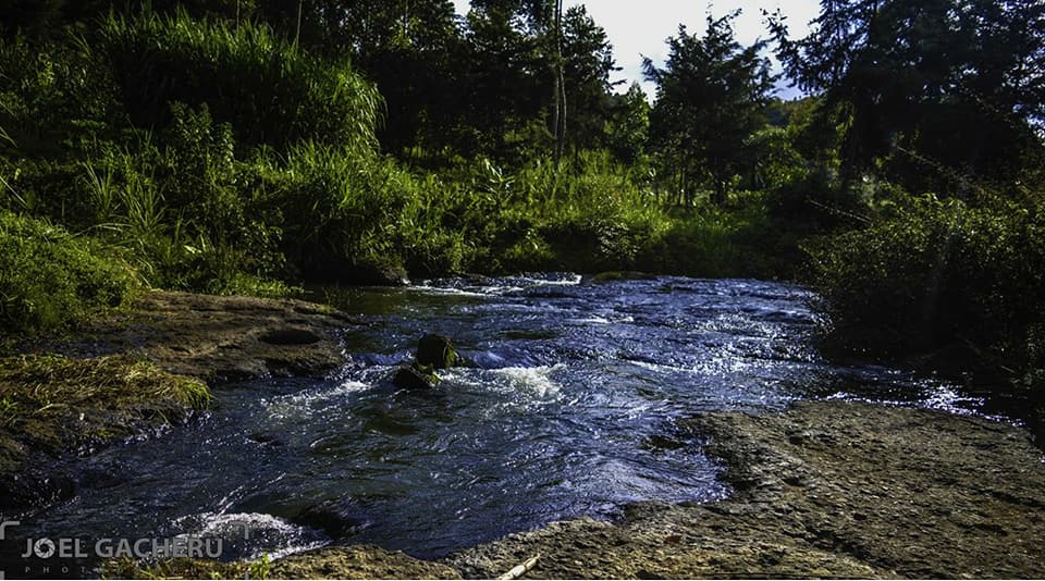
- Photo Copyright: Joel Gacheru
-
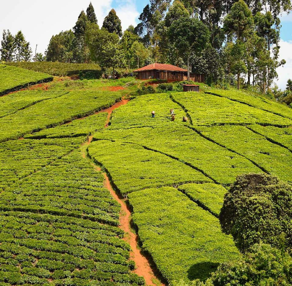
- Photo Copyright: Stella Wambui
-
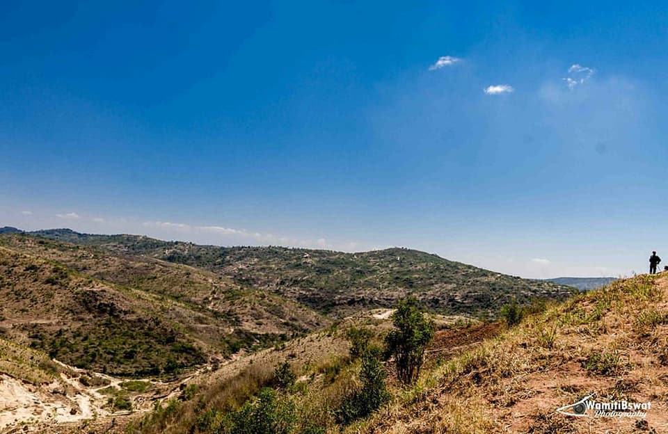
- Photo Copyright: Wamiti SonHarry
